
The Narsingi road map is still missing
Western Meadows residents fear a wider master-plan road could affect homes. The document meant to settle that question has not been produced.
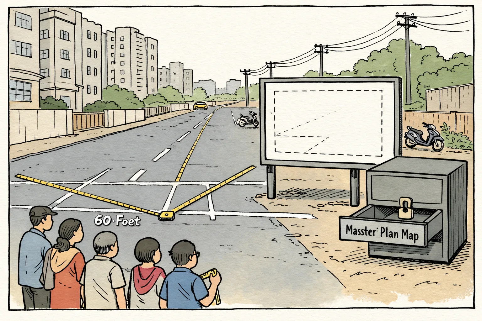
Residents say the wider road plan remains unavailable for public scrutiny.
Western Meadows residents in Narsingi have raised concerns that a revised master-plan road alignment could affect homes and apartments in the colony. The layout, in Narsingi Circle-45, covers about 22 acres and includes survey numbers 102, 104, 112, 115/P, 116, 122, 123, 124/P and 168, according to a published report.
Residents say an earlier plan showed 100-foot roads above the colony, while a January 2026 notification allegedly proposes widening an internal 60-foot road to 100 feet. They fear losing nine metres on either side and allege that the alignment protects influential landowners. That allegation is not independently established, and no landowner or transaction has been identified.
HMDA’s public records show that master-plan roads can be wider than existing roads, including 100-foot proposals. They do not establish that Western Meadows’ alignment was changed. Telangana’s official Gazette repository is available, but the alleged January 2026 gazette and its map have not been produced in the material reviewed. Until HMDA publishes the document, residents are left arguing with a road plan that exists mainly as a rumour and a missing PDF.